


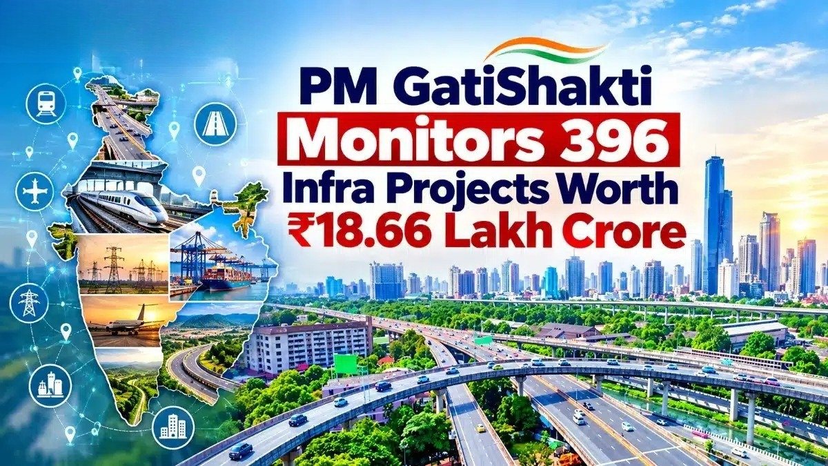
The PM GatiShakti National Master Plan is monitoring 396 major infrastructure projects involving investments of ₹18.66 lakh crore as of August 11, 2026. Of these, 256 projects have been sanctioned, while 198 are under implementation. The GIS-based platform brings infrastructure and geospatial data onto a common system to improve multimodal connectivity, coordination and project planning across India.
Tracks Major Infrastructure Projects
Launched on October 13, 2021, PM GatiShakti integrates infrastructure and geospatial data from Central Ministries, states and Union Territories. It enables planners to assess transport networks, geographic features, economic zones and logistics infrastructure together. This integrated approach helps identify connectivity gaps, improve coordination and support more efficient infrastructure development.
The platform aims to reduce project delays and costs while improving the movement of people, goods and services. It also enables ministries and departments to assess infrastructure proposals across sectors and identify opportunities for better connectivity.
PM GatiShakti Supports Multimodal Connectivity
The plan maps economic zones, including textile and pharmaceutical clusters, defence corridors, electronic parks, industrial corridors, fishing clusters and agricultural zones. This allows planners to assess how transport infrastructure can connect production centres, logistics facilities and other economic hubs.
One example is the proposed upgraded Khagaria–Purnea corridor in Bihar. The project is planned to connect five PM GatiShakti economic nodes, including a textile cluster, mega food parks and fishing or seafood parks, along with 11 logistics nodes. The planned connectivity is expected to support the movement of goods and passengers across the region.
The framework follows six guiding principles: integrated development, multimodal infrastructure, last-mile connectivity, expedited land acquisition, minimised clearances and reduced ecological impact.
PM GatiShakti Expands Digital Infrastructure Planning
The plan identifies seven infrastructure engines: roads, railways, ports, waterways, airports, mass transport and logistics infrastructure. Its institutional framework covers 58 Central Ministries and Departments and all 36 states and Union Territories, supporting coordination across different levels of government.
The PM GatiShakti Public platform provides access to 230 approved datasets for activities such as site suitability analysis, connectivity mapping, alignment planning and compliance checks. As of October 12, 2026, the platform included more than 23,493 data layers, bringing infrastructure and related information together to support data-driven planning and decision-making.
The PM GatiShakti National Master Plan continues to support integrated infrastructure planning by connecting ministries, states and transport networks through a common digital platform. Its geospatial capabilities are designed to improve coordination, strengthen multimodal connectivity and support the efficient implementation of major infrastructure projects.